tomstanis.com
Home
ECONOMICS
Economic world-view
Policy Statements
LAW
Too Big To Jail
Legal Writings
Energy & Technology
Internet
Energy Charts and Graphs
Policy Statements
PROJECTS
Underwater ROV
Pneumatic engine
Camera Steady-cam
Hydroponic Garden
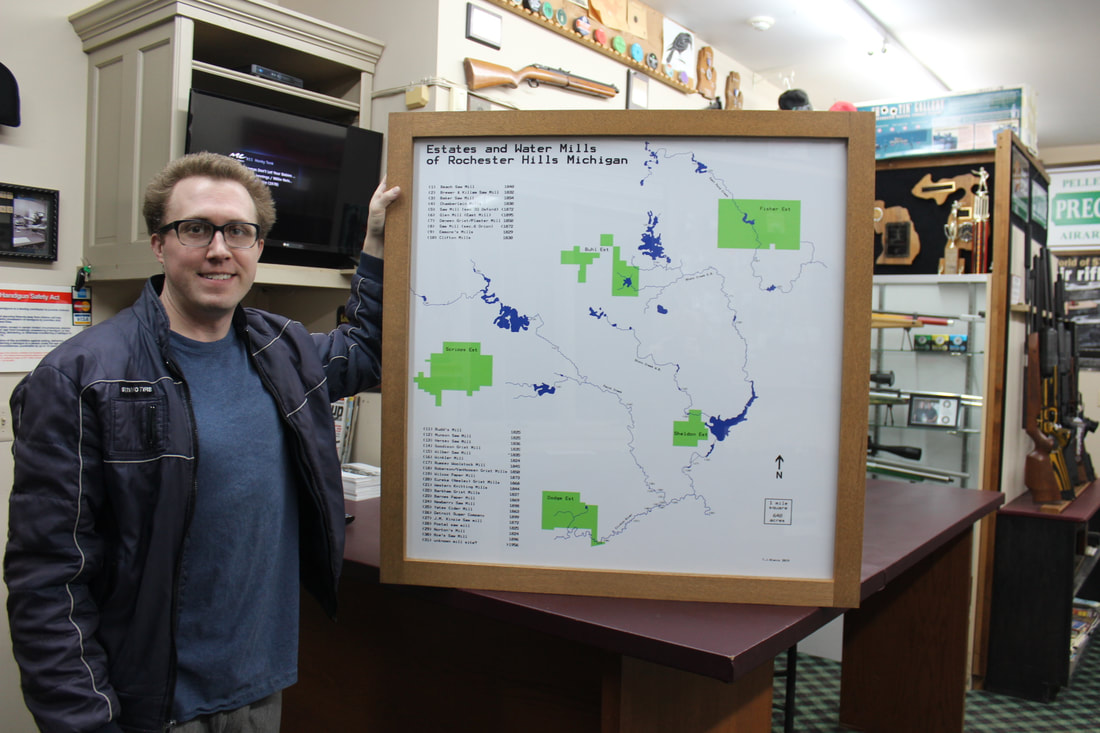
Map of Estates & Water Mills
Dloco
Home
ECONOMICS
Economic world-view
Policy Statements
LAW
Too Big To Jail
Legal Writings
Energy & Technology
Internet
Energy Charts and Graphs
Policy Statements
PROJECTS
Underwater ROV
Pneumatic engine
Camera Steady-cam
Hydroponic Garden
Map of Estates & Water Mills
Dloco